
Isolation Wall
The threat of disease to the population of Western Australia was one reason why Woodman Point was officially selected for a quarantine station in 1876. Not only is it very close to the port of Fremantle, but because of the shape of the land, it remained quite isolated – and important feature for a quarantine station trying to prevent the spread of disease.
Woodman Point is a peninsula that sticks out into the Indian Ocean. Jervoise Bay in Cockburn Sound is along the southern side of the peninsula, and Owen Anchorage is along the northern side. In the 1830s, this area was the town ‘Clarence’ – a failed settlement that has its own story.
A limestone wall was built in 1886 as a “sea to sea” barrier, to cut off the peninsula from the mainland for the Quarantine Station. There was one small and one large gate in the middle as the only access to the site by land.


More information
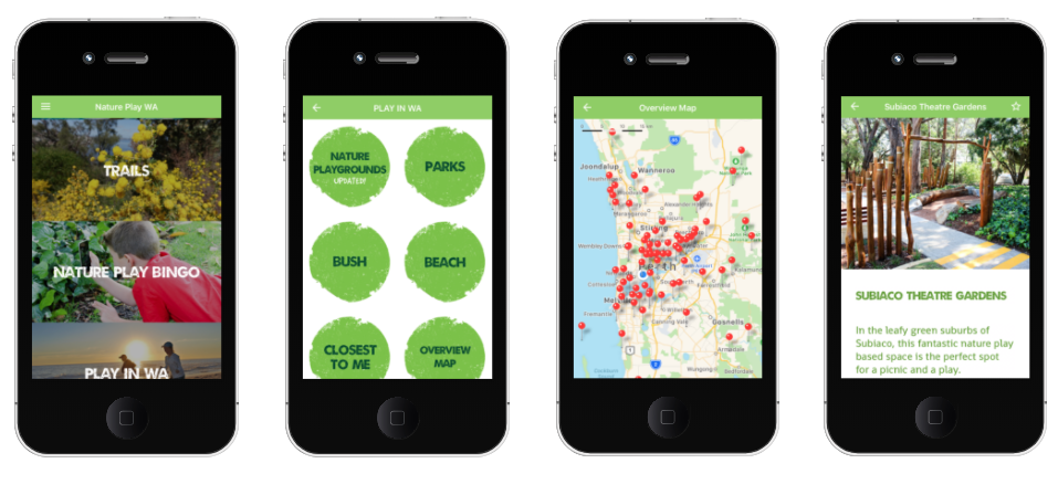
- Follow and interact with the Heritage Trail on the NaturePlayWA App.
- Heritage content compiled by Woodman Point Recreation Camp, in collaboration with the Friends of Woodman Point Recreation Camp Inc.
- Images sourced from archival and personal collections held by the Friends of Woodman Point Recreation Camp.
- ‘Western Sentinel: A history of the Woodman Point Quarantine Station, Western Australia 1852-1979’ by Ian Darroch, is available for purchase from Woodman Point Recreation Camp. Proceeds to the Friends of Woodman Point Recreation Camp to conserve and promote the heritage of the Quarantine Station.